Publication
·
Reading a Site Through Its Water
Marco Reyes, Suyin Park
·
Understory Field Notes
·
8 min
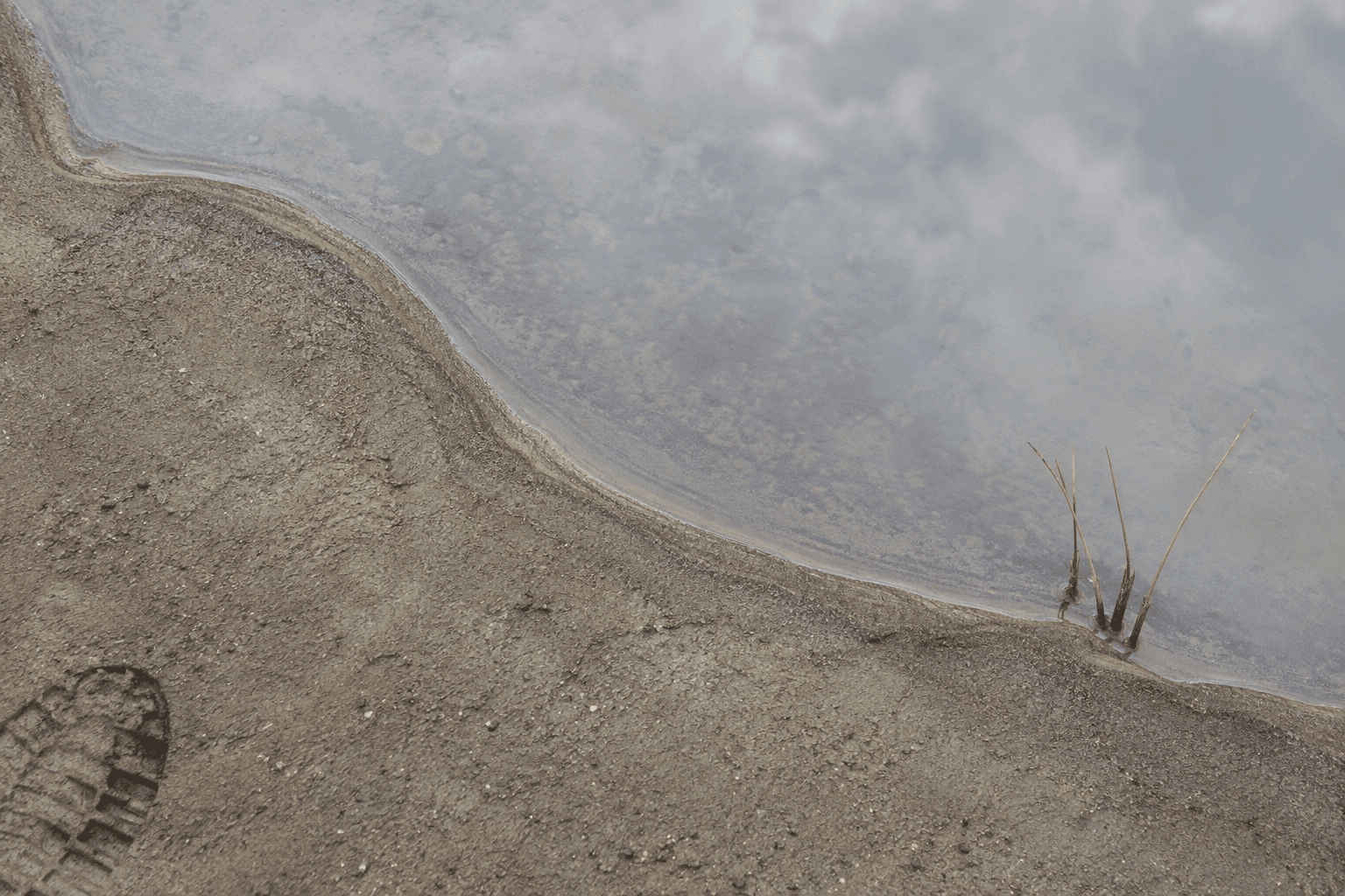
Every site already has a design in it, written by water. Our first task is to read it.
Walk it in the rain
Nothing replaces standing on a site during a downpour. Puddles, silt lines and the small deltas at the base of slopes show you exactly where water goes, in an afternoon, for free.
Read the plants
Sedges, rushes and willows mark wet ground long after a dry summer. A weed survey is a moisture map if you know the species.
Look for the old lines
Historic maps, street names and odd kinks in property boundaries often trace a creek that was buried a century ago. Water tends to return to those lines during storms.
Model last, not first
Hydraulic modelling is essential for sizing, but it answers the questions you ask it. The three methods above are what tell you which questions matter.
On our water square and cloudburst projects, this sequence changed the design each time: less pipe, more surface, and landforms that follow what the site was already doing.

More insights

·
Understory
Lindebo Cloudburst Boulevard Holds Its First Major Storm
When 68 mm of rain fell on Lindebo in under two hours, the boulevard's granite channel carried the water to the harbour and not a single basement on the street flooded.
·
Understory Field Notes
Shade Before Streets: Lessons from a Three-Typology Cooling Forest
Three summers of sensor data from the Alderway Cooling Forest show that how trees are arranged matters almost as much as how many are planted. Dense groves cooled the ground by up to 9°F, but the savanna layout kept people in the shade longest.

·
Understory
Kiln Creek Marsh Records Its First Nesting Pair
Four years after planting, volunteers have confirmed a pair of nesting marsh wrens in the restored cordgrass at Kiln Creek, a first for this stretch of the waterway.