Resiliency
·
2023
Anchor Basin Climate Buffer
Fact sheet
Location
Anchor Basin, Boston, MA
Client
Eastport Resilience Initiative / Harbor City Water Authority
Size
6 acres
Year
2023
Status
Built
Services
Resilience Planning, Bioretention Design, Public Realm
Commissioned after repeated king-tide flooding along Anchor Basin, this 6-acre linear park acts as a living buffer for the waterfront. Layered berm planting, permeable paving and bioretention cells absorb 2.5 inches of rainfall in under 90 minutes.
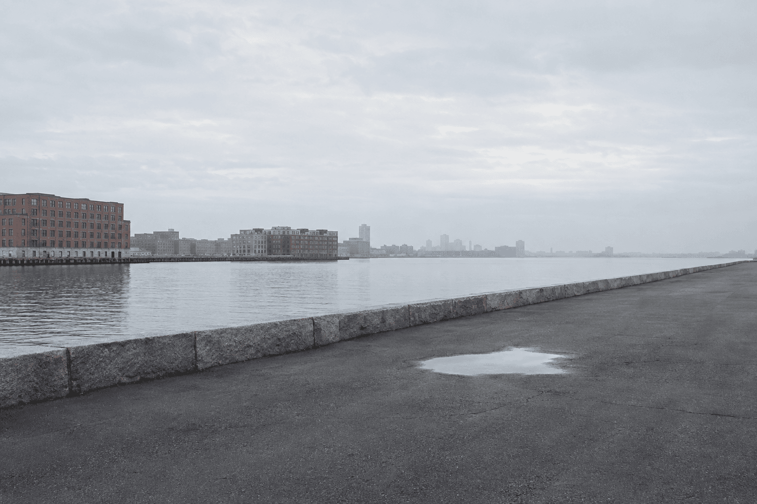
King tides and winter storms had been pushing water across the Anchor Basin waterfront for years, flooding the harbour walk and the streets behind it. The city needed flood protection, and the neighbourhood did not want a wall.
A landform, not a barrier
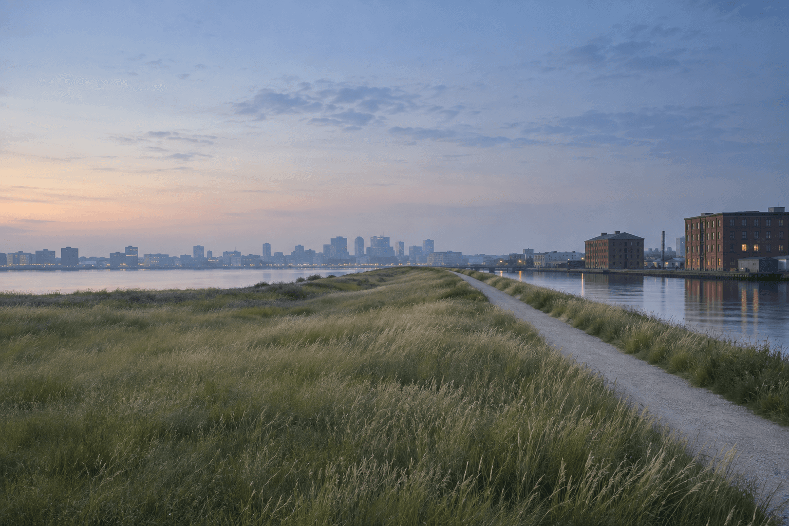
Our answer was a long, gently rising berm that lifts the protected edge to 12 feet NAVD88 while still reading as a park. A path runs along its crest, giving people new views over the channel, and the slopes are shallow enough to sit on.
Water that has somewhere to go
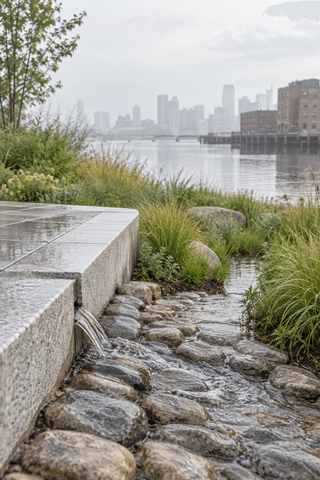
On the inland side, nine bioretention cells catch rain running off the streets and the berm itself. Each cell is sized for a 100-year storm, and together they absorb 2.5 inches of rainfall in under 90 minutes.
Designed with the neighbourhood
Twelve community workshops shaped the planting palette, the seating and the path alignment. Since opening, a sensor network has tracked soil saturation and runoff after every storm, and the data is shared each year with the city's climate office.
Design team
Marco Reyes, Principal Daria Okafor, Resilience Lead Tom Held, Civil
Collaborators
Ardent Engineering Group (hydrology) Channel Edge Neighbourhood Group
Built by
Atlantic Landscape Contractors
Photography
James Whitfield Studio
Phases
Phases & status
Comparison
Before & after

Time
How it’s growing
Scrub through the stages to see how the site takes hold.

Gallery